Huntin' Fool's proprietary draw odds features sortable columns, odds that are individually tailored to the number of points you have in each state, and are based on complete draw data sets from the states. You won't find more accurate and user-friendly draw odds than ours.

Use Huntin' Fool's exclusive 3-D satellite mapping platform to research hunts by state, species, weapons, trophy potential, and more. The platform includes public land overlays, wildfire history, roadless areas, current weather, and many more layers and features. The only 3-D satellite mapping platform that combines proprietary hunt research with a waypoint management system to create the ultimate e-scouting platform.

Our monthly publication is packed with the research and recommendations to develop an out-of-state application and hunting strategy. We simplify state hunting regulations and supplement that information with draw odds, harvest statistics, unit descriptions, trophy potential, and more. You will also find unbiased gear reviews, member success stories, and other insights into western big game hunting.

A peer-to-peer hunting network with more than 25,000 chances to connect you with members who have drawn that same tag in the past. This boots on the ground database is one of the most valuable benefits to our Huntin' Fool members.

More than $600,000 worth of fully paid for dream hunts are exclusively available each year through Huntin' Fool's Membership Drives. Entries can be earned by referring friends to become Huntin' Fool members, gifting Huntin' Fool memberships, or by purchasing entries for our very own limited entry draws.
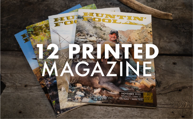
12 issues packed with the research and recommendations to develop an out-of-state application and hunting strategy, member stories, articles on gear, and much more delivered to you monthly with a Printed or All-Access Membership.


As a Huntin' Fool 1-on-1 or All-Access member, you have UNLIMITED access to the team of full-time Hunt Advisors who provide consulting for hunt planning, outfitter selection, outdoor gear research, application strategies, and more.