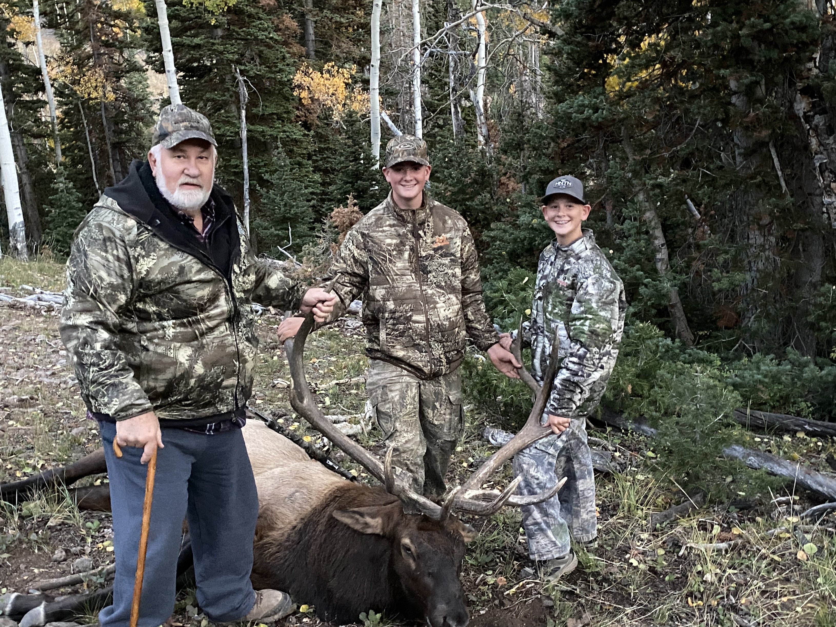
My father-in-law finally drew an elk tag on one of the most sought-after units in Utah. It took him 25 years to do so. As I heard the news, excitement came over me, but there was also a sense of urgency. It had been over 20 years since I last hunted that unit. I knew that I would need to rely on locals, friends, and a good scouting session using Huntin’ Fool’s 3D Hunt Planner.
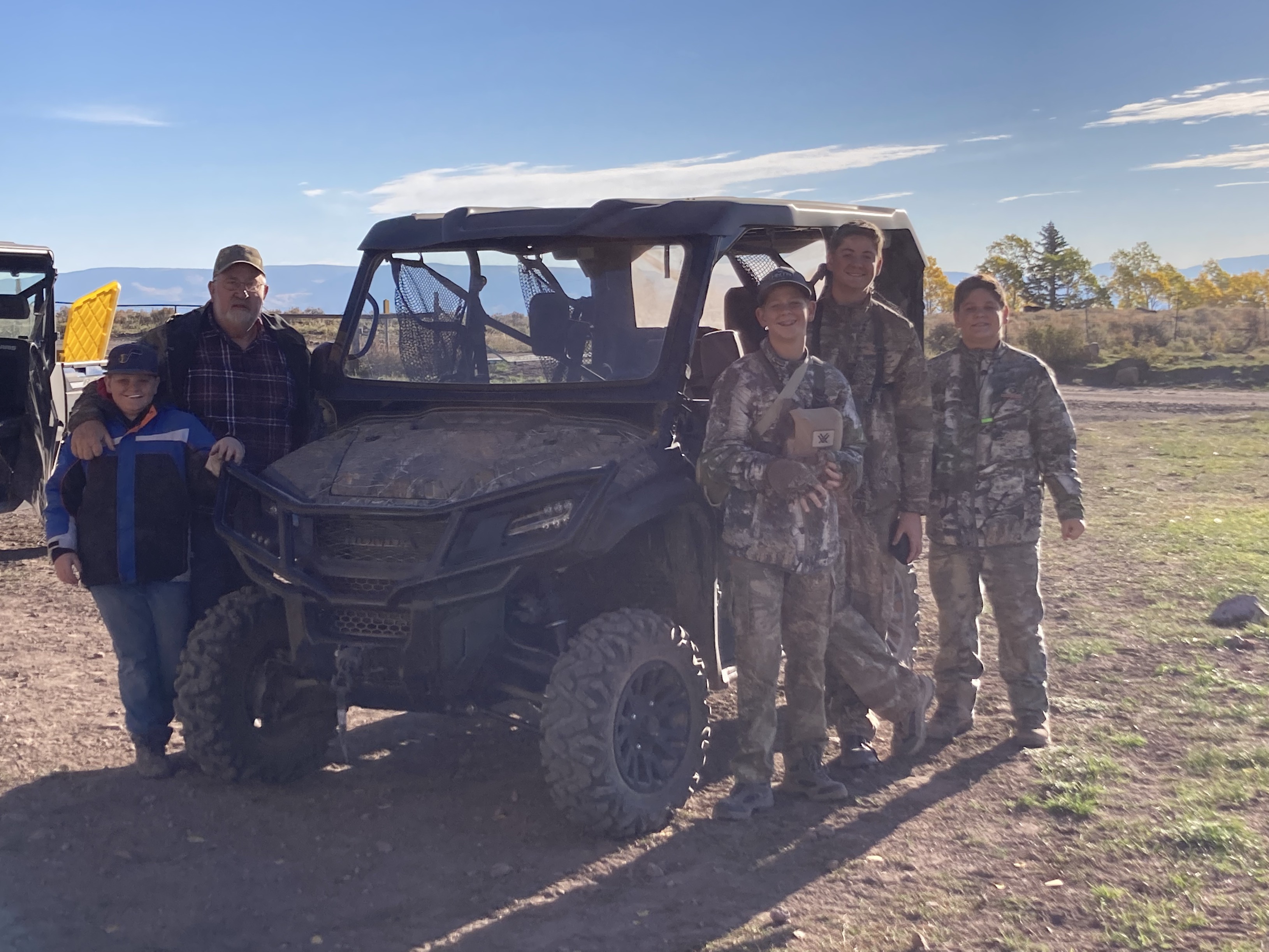
There was so much that I needed to learn ASAP – access, public lands, water, and there was also the fact that my father-in-law is mobility-impaired, so we were going to have to rely on road hunting to cover a lot of ground. While that had worked well for him in the past on mule deer, we knew that bull elk are very different. I knew that I needed to spend most of my time online looking at the lay of the land and making sure access was available from a side-by-side.
Support from locals and friends poured in. I knew I needed to organize waypoints that were shared with me. I quickly learned that not everyone uses the same mapping methods as I do. I cataloged all the waypoints on Huntin’ Fool’s 3D Hunt Planner. I analyzed each location using several layers while using 3D perspectives. Most of the waypoints I had received surrounded several large parcels of private land. That was another factor. Who owned what? I know onXmaps collects and makes available ownership information. However, the county the unit sits in doesn’t have parcels layers. I had to review all ownership information on the county’s online mapping application, which was a ton of help. It turned out to be a great resource.
After I felt good about my eScouting efforts, I downloaded all my waypoints and added them to my onXmaps account. In the field, onXmaps along with my custom data was my go-to resource. Access to this unit was in abundance, and we could have gotten lost. Being able to pre-plan travel routes and locate ourselves gave all of us a better attitude. We never got lost!
I understand that all hunts are different and your mapping arsenals are different, but in today’s technological world, there are a lot of resources. Again, my mapping arsenal for this hunt was Huntin’ Fool’s 3D Hunt Planner, county online mapping tools, and onXmaps.
We would love to hear from you and find out what your mapping arsenal is. As always, happy mapping!