In my last article, I mentioned that my purpose in developing the mapping app was to fill the gaps of the current industry mapping applications. In this article, I’ll explore some of those gaps and why it is important to fill them.
In the last handful of years, technology has increased 10-fold. It has become an ocean of “open source api’s” (free application program interfaces), allowing developers to utilize code sources that best fit their needs. The mobile application platform pivoted the way users used and viewed websites, documents, and programs. Most of us have a mobile or smart device, and we are accustomed to them – the way they react, how we interact with them, and what we can access. I think it's safe to say that if people can’t access it on their smartphones or tablets, they won't visit your website or use what you have. It drastically reduces your opportunity to reach as many people as you can.
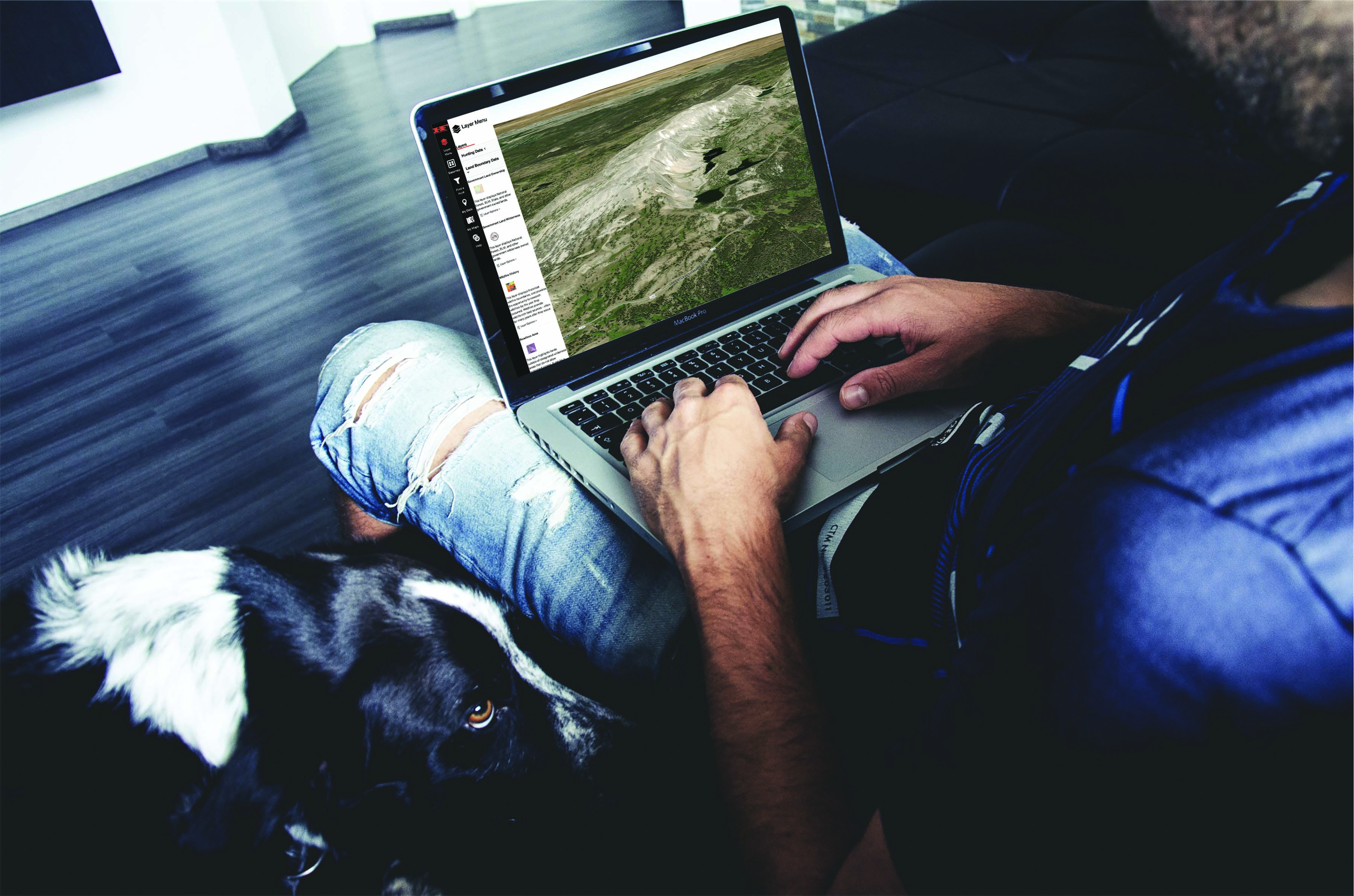
I use the term “smart mapping” all the time. Smart mapping can include an array of things, and it is one of the things that helped drive the development of the Hunt Planner. Smart mapping can include auto updated layers, tools, Artificial Intelligence, heads up e-scouting, 3D terrain base maps, and more. Let’s explore 3D terrain base maps. They help improve the user’s overall experience by giving a visual representation of the terrain. Visual representation is critical when you need to understand areas for e-scouting and planning. While a two- dimensional plane is great for a large area, a three-dimensional aspect simply enhances that. As our Hunt Planner is the only 3D mapping tool out there, the Google EarthTM program has always been there for users. However, in my opinion Google EarthTM lacks some critical user functions, and some of these functions are provided by early-on applications, like onX. While onXmaps, “the first of its kind,” helped bridge the gap for hunters and outdoor users, I still felt like there was something missing. I didn’t want the user to have to jump in and out of Google Earth and onXmaps to get the experience they needed. With the growth of technology as stated above, I wanted to bridge that gap even more.
Bridging the gap in technology seemed like a simple thing to do, but I was wrong! Every time I develop new tools, I am reminded of that, but I push forward. I want to make sure we are including everything we can to enhance this experience I keep talking about.
Huntin’ Fool will continue to provide industry-leading tools, layers, analytics, and more geared to you. We will listen to you, we will do our research, and we will be users of our own HuntFinder to make this happen and provide the best e-scouting tool there is.